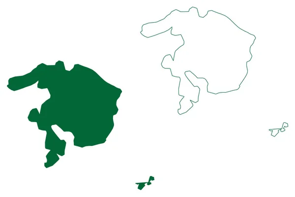
Moucha Maskali Island Republic Djibouti Gulf Tadjoura Map Vector Illustration — Stockvektor

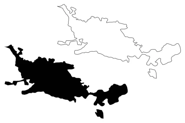
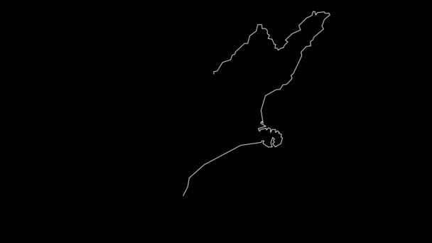
Moucha and Maskali island (Republic of Djibouti, Gulf of Tadjoura) map vector illustration, scribble sketch Moucha and Maskali map — Vektorgrafik

Moucha and Maskali island (Republic of Djibouti, Gulf of Tadjoura) map vector illustration, scribble sketch Moucha and Maskali map

 — Vektor von Danler

Dieselbe Reihe:

Madeleine island (Republic of Senegal) map vector illustration, scribble sketch Iles de la Madeleine map
Madeleine Island Republic Senegal Map Vector Illustration Scribble Sketch Iles — Stockvektor
Okayama City (Bundesstaat Japan, Inselstaat, Region Chugoku) Kartenvektorillustration, Kritzelskizze Stadt Okayama Karte
Okayama City Bundesstaat Japan Inselstaat Region Chugoku Kartenvektorillustration Kritzelskizze Stadt — Stockvektor
Mahe Island (Republik Seychellen, Indischer Ozean, Innere Inseln) Kartenvektorillustration, Kritzelskizze Ile Les Mamelles Karte
Mahe Island Republik Seychellen Indischer Ozean Innere Inseln Kartenvektorillustration Kritzelskizze — Stockvektor
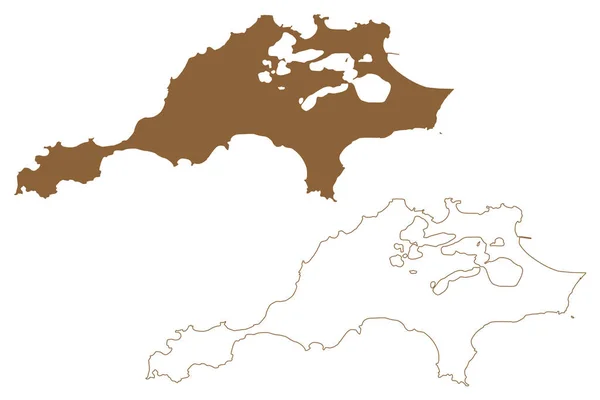
Rottnest island (Western Australia, Commonwealth of Australia, Indian Ocean) map vector illustration, scribble sketch Wadjemup map
Rottnest Island Western Australia Commonwealth Australia Indian Ocean Map Vector — Stockvektor
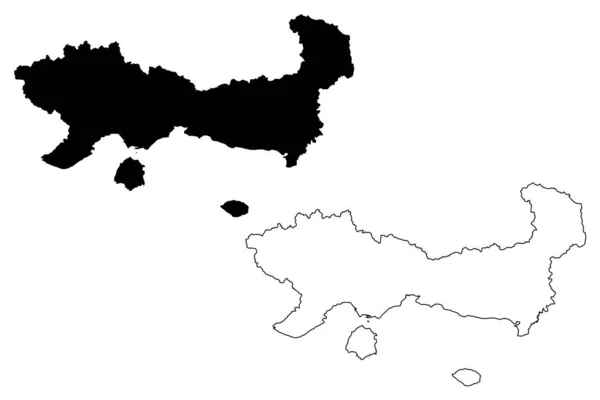
Ostmakedonien und die Region Thrakien (Griechenland, Griechische Republik, Hellas) Kartenvektorillustration, Kritzelskizze Ostmakedonien und Thrakienkarte
Ostmakedonien und die Region Thrakien (Griechenland, Griechische Republik, Hellas) Kartenvektorillustration, Kritzelskizze Ostmakedonien und Thrakienkarte — Stockvektor
Autonome Region auf muslimischem Mindanao (Regionen und Provinzen der Philippinen, Republik der Philippinen) Kartenvektorillustration, Kritzelskizze armm map
Autonome Region Auf Muslimischem Mindanao Regionen Und Provinzen Der Philippinen — Stockvektor
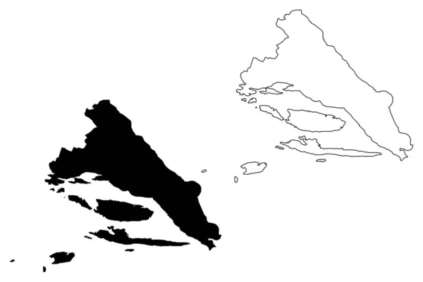
Gespanschaft Split-Dalmatien (Gespanschaft Kroatien, Republik Kroatien) Kartenvektorillustration, Kritzelskizze Split-Dalmatien (Brac und Hvar Insel) Karte
Gespanschaft Split-Dalmatien (Gespanschaft Kroatien, Republik Kroatien) Kartenvektorillustration, Kritzelskizze Split-Dalmatien (Brac und Hvar Insel) Karte — Stockvektor
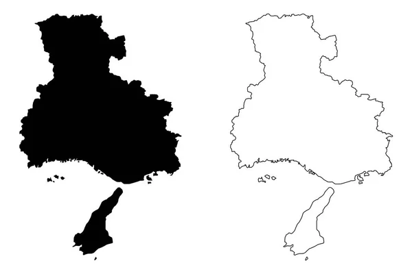
Hyogo-präfektur (verwaltungsteile japans, präfekturen japans) kartenvektorillustration, kritzelskizze hyogo-karte
Hyogo Präfektur Verwaltungsteile Japans Präfekturen Japans Kartenvektorillustration Kritzelskizze Hyogo Karte — Stockvektor
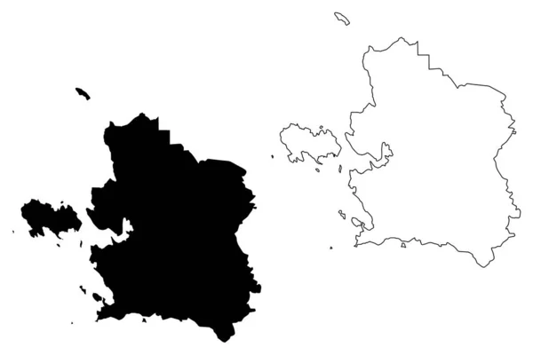
Laane county (republik estland, counties of estonia) kartenvektorillustration, skizze laanemaa map
Laane county (republik estland, counties of estonia) kartenvektorillustration, skizze laanemaa map — Stockvektor
Okinawa insel (insel japan) karte vektorillustration, kritzelskizze okinawa karte
Okinawa Insel Insel Japan Karte Vektorillustration Kritzelskizze Okinawa Karte — Stockvektor
Eskisehir Stadt (Republik Türkei, Region Zentralanatolien) Kartenvektorillustration, Kritzelskizze Stadt Eskisehir Karte
Eskisehir Stadt Republik Türkei Region Zentralanatolien Kartenvektorillustration Kritzelskizze Stadt Eskisehir — Stockvektor
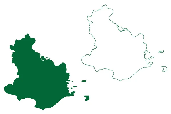
Distrikt Kaushambi (Bundesstaat Uttar Pradesh, Republik Indien) Kartenvektorillustration, Kritzelskizze Kaushambi Karte
Distrikt Kaushambi Bundesstaat Uttar Pradesh Republik Indien Kartenvektorillustration Kritzelskizze Kaushambi — Stockvektor
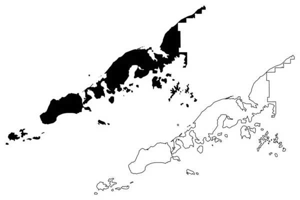
Aleutians east borough, alaska (Bezirke und Volkszählungsgebiete in alaska, vereinigte staaten von amerika, usa, uss., us) kartenvektorillustration, kritzelskizze aleutian, shumagin, pavlof, sanak island map
Aleutians east borough, alaska (Bezirke und Volkszählungsgebiete in alaska, vereinigte staaten von amerika, usa, uss., us) kartenvektorillustration, kritzelskizze aleutian, shumagin, pavlof, sanak island map — Stockvektor
Nha Trang City (Sozialistische Republik Vietnam, Provinz Khanh Hoa) Kartenvektorillustration, Kritzelskizze Stadt Kauthara Karte
Nha Trang City Sozialistische Republik Vietnam Provinz Khanh Hoa Kartenvektorillustration — Stockvektor
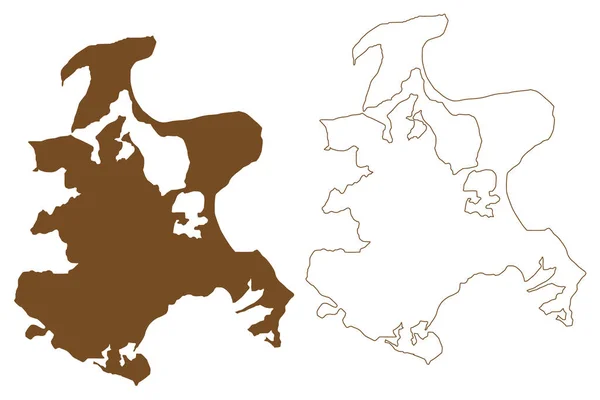
Rugen island (Baltic Sea, Federal Republic of Germany) map vector illustration, scribble sketch Rugia or Ruegen map
Rugen Island Baltic Sea Federal Republic Germany Map Vector Illustration — Stockvektor
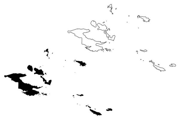
Milne bay provinz (unabhängiger staat papua neuguinea) kartenvektorillustration, kritzelskizze d 'entrecasteaux inseln, trobriand inseln, waldlerche, louisiade archipel, tagula, misima karte
Milne bay provinz (unabhängiger staat papua neuguinea) kartenvektorillustration, kritzelskizze d 'entrecasteaux inseln, trobriand inseln, waldlerche, louisiade archipel, tagula, misima — Stockvektor

Nutzungshinweise

Sie können dieses lizenzfreie Vektorbild "Moucha and Maskali island (Republic of Djibouti, Gulf of Tadjoura) map vector illustration, scribble sketch Moucha and Maskali map" für persönliche und kommerzielle Zwecke gemäß der Standard- oder Erweiterten Lizenz verwenden. Die Standardlizenz deckt die meisten Anwendungsfälle ab, einschließlich Werbung, UI-Designs und Produktverpackungen, und erlaubt bis zu 500.000 Druckkopien. Die Erweiterte Lizenz erlaubt alle Verwendungszwecke unter der Standardlizenz mit unbegrenzten Druckrechten und erlaubt Ihnen, die heruntergeladenen Vektordateien für Merchandising, Produktwiederverkauf oder freie Verteilung zu verwenden.

Dieses Stock-Vektorbild ist auf jede Größe skalierbar. Sie können es in hoher Auflösung bis zu 7087x4726 kaufen und herunterladen. Datum des Uploads: 26. Apr. 2022