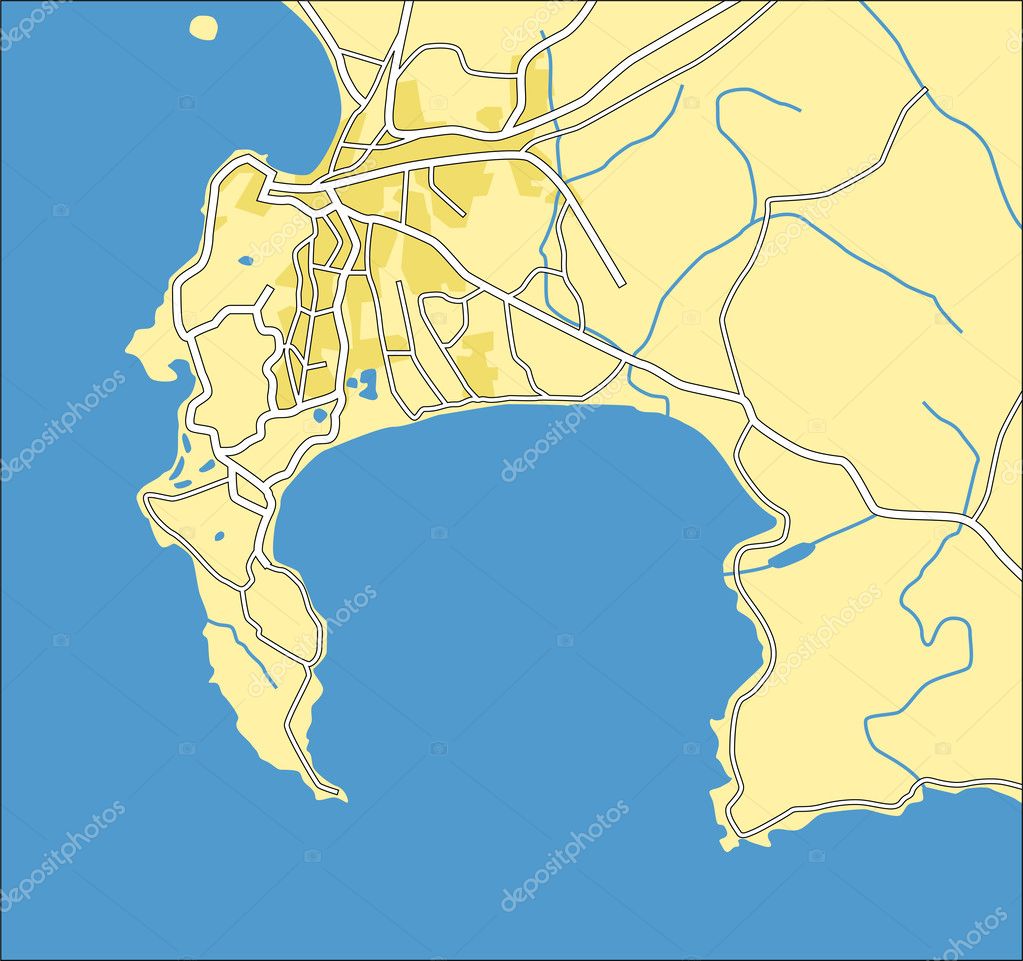
Vektor Illustration Karte von Kapstadt — Stockvektor

Vektor Illustration Karte von Kapstadt — Vektorgrafik

Vektor Illustration Karte von Kapstadt.

 — Vektor von tshooter

Dieselbe Reihe:

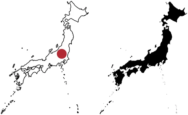
Layered editable vector illustration country map of Japan,which contains two versions, colorful country flag version and black silhouette version.
Flagge und Silhouette Japans — Stockvektor
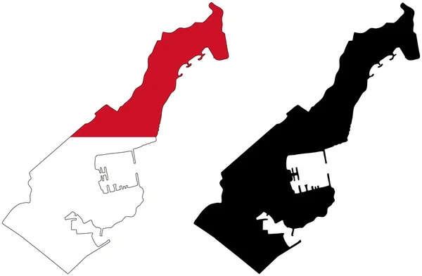
Layered editable vector illustration country map of Monaco,which contains two versions, colorful country flag version and black silhouette version.
Monaco — Stockvektor
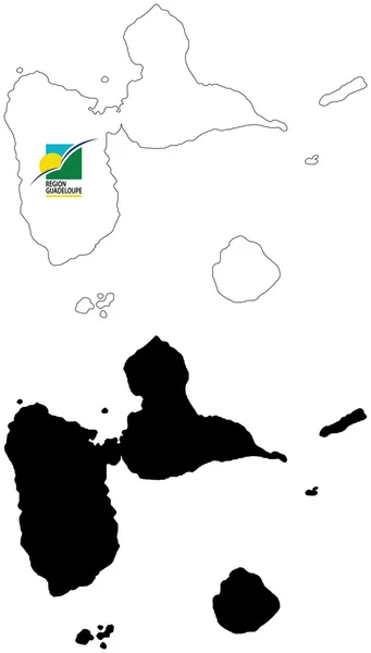
Layered editable vector illustration country map of Guadeloupe,which contains two versions, colorful country flag version and black silhouette version.
Guadalupe — Stockvektor
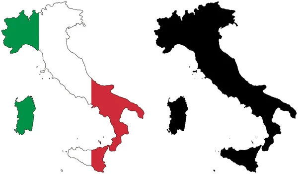
Layered editable vector illustration country map of Italy,which contains two versions, colorful country flag version and black silhouette version.
Flagge und Silhouette Italiens — Stockvektor
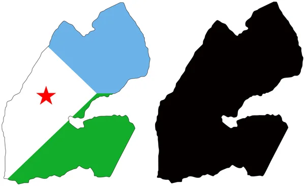
Layered editable vector illustration country map of Djibouti,which contains two versions, colorful country flag version and black silhouette version.
Dschibuti — Stockvektor
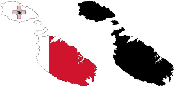
Layered editable vector illustration country map of Malta,which contains two versions, colorful country flag version and black silhouette version.
Flagge und Silhouette von Malta — Stockvektor
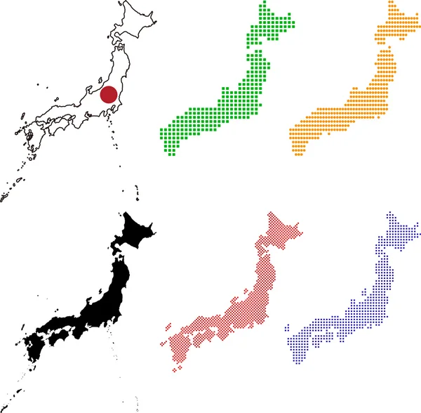
Layered editable vector illustration country map of Japan,which contains colorful country flag version,black silhouette version and defferent pixel versions,can be used as background or material.
Karte und Flagge Japans — Stockvektor
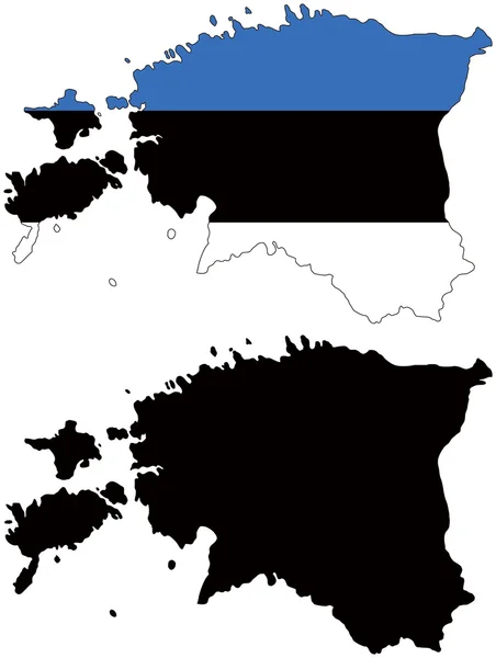
Layered editable vector illustration country map of Estonia,which contains two versions, colorful country flag version and black silhouette version.
Estland — Stockvektor
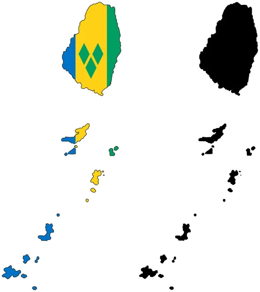
Layered editable vector illustration country map of Saint Vincent and the Grenadines,which contains two versions, colorful country flag version and black silhouette version.
Saint Vincent und die Grenadinen — Stockvektor
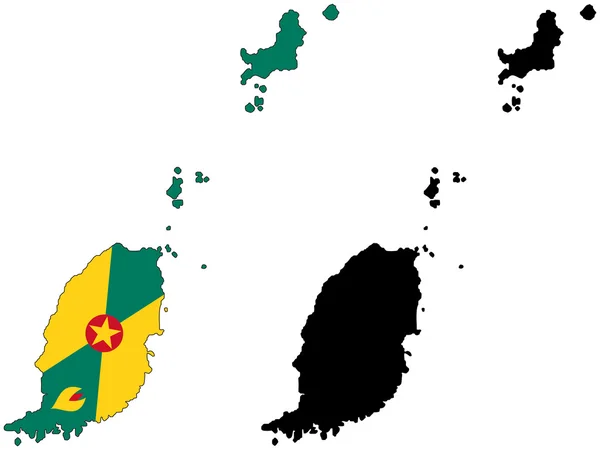
Layered editable vector illustration country map of Grenada,which contains two versions, colorful country flag version and black silhouette version.
Grenada — Stockvektor
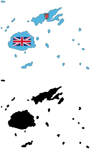
Layered editable vector illustration country map of Fiji,which contains two versions, colorful country flag version and black silhouette version.
Flagge und Silhouette von Fidschi — Stockvektor
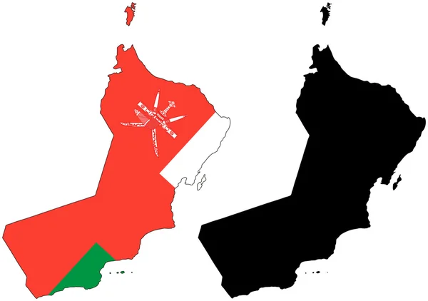
Layered editable vector illustration country map of Oman,which contains two versions, colorful country flag version and black silhouette version.
Flagge und Silhouette der Stadt — Stockvektor
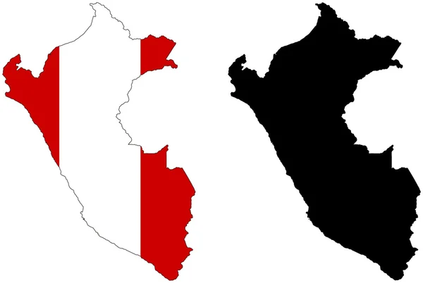
Layered editable vector illustration country map of Peru,which contains two versions, colorful country flag version and black silhouette version.
Flagge und Silhouette von Peru — Stockvektor
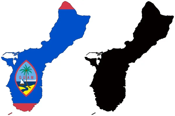
Layered editable vector illustration country map of Guam,which contains two versions, colorful country flag version and black silhouette version.
Flagge und Silhouette von Guam — Stockvektor
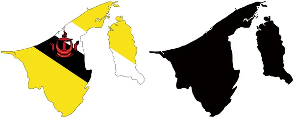
Layered editable vector illustration country map of Brunei,which contains two versions, colorful country flag version and black silhouette version.
Brunei — Stockvektor
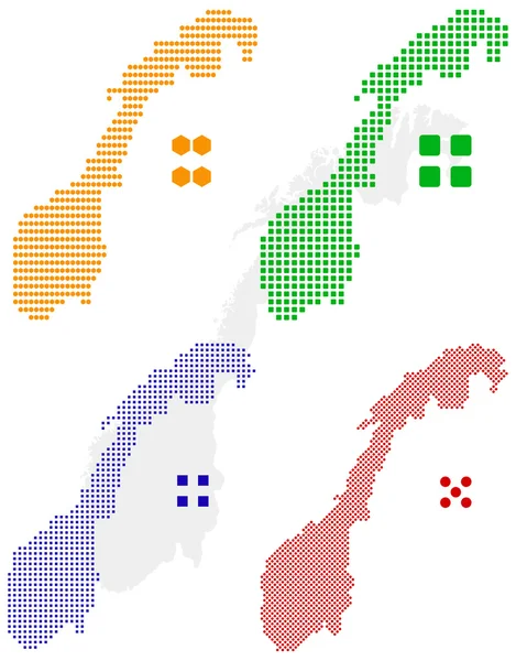
Layered editable vector illustration country map of Norway,which contains four defferent pixel versions,can be used as background or material.
Pixelkarte von Norwegen — Stockvektor

Ähnliche Stockvideos:
4k-Animation Luftbild der Karte mit 3D-Gebäude und Ziel beweglichen Standort Pfad
Animation Luftbild Der Karte Mit Gebäude Und Ziel Beweglichen Standort — Stockvideo
GPS-Tracking-Navigationskonzept. Karte GPS-Navigationssystem. Smartphone App Map. Nahtlose Loop / 4k-Animation eines App-Bildschirms mit fahrendem Stadtplan-Hintergrund mit rotem Pfeil, der sich vorwärts bewegt
Gps Tracking Navigationskonzept Karte Gps Navigationssystem Smartphone App Map Nahtlose — Stockvideo
Halle saale stadtplan animationsmaterial 4k, historische urbanisierung, datengesteuerte visualisierung
Halle saale stadtplan animation footage 4k loop — Stockvideo
Stadtplan Animationsmaterial 4k, historische Urbanisierung, datengetriebene Visualisierung
Stadtplan Animationsmaterial 4k loop — Stockvideo
Eine Skizzenanimation der schwarz-weißen Erde mit Kartenhintergrund
Eine Skizzenanimation Der Schwarz Weißen Erde Mit Kartenhintergrund — Stockvideo
Beweglicher GPS-Navigator auf Stadtplan mit Fluss. Karte, Navigationsmarkierung und Checkpoints-Symbol vor Ort. 4k oder hd Animation
Beweglicher Gps Navigator Auf Stadtplan Mit Fluss Karte Navigationsmarkierung Und — Stockvideo
Hellblaue Landkarte von China mit Städten, Straßen und Eisenbahnen auf dunkelblauem Hintergrund. 4K-Animation mit Alphakanal
Hellblaue Karte von China mit Städten, Straßen und Eisenbahnen auf dunkelblauem Hintergrund. — Stockvideo
Valletta malta, stadtplan animation footage 4k, historische urbanisierung, datengesteuerte visualisierung
Valletta malta, stadtplan animation footage 4k loop — Stockvideo
Londoncity map animation footage 4k, historische Urbanisierung, datengesteuerte Visualisierung
London City Karte Animation Footage 4k Schleife — Stockvideo
Hellblaue Karte der USA mit Städten und Autobahnen auf dunkelblauem Hintergrund. 4K-Animation mit Alphakanal
Hellblaue Karte der USA mit Städten und Autobahnen auf dunkelblauem Hintergrund. — Stockvideo
Geographische Landkarte des kuwaitischen Gouvernements
Geographische Landkarte Des Kuwaitischen Gouvernements — Stockvideo
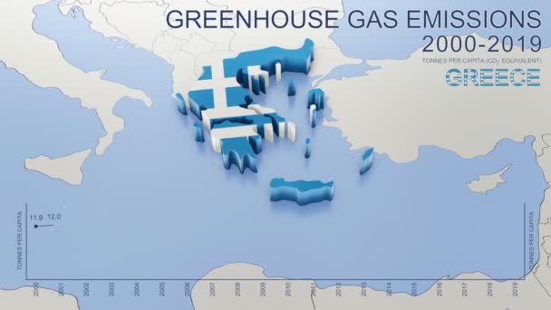
Treibhausgasemissionen in Griechenland von 2000 bis 2019. Werte in Tonnen pro Kopf (CO2-Äquivalent). Quelle: Eurostat. 3D-Rendering-Schleifenfähiges Video mit 4K-Auflösung.
Treibhausgasemissionen Griechenland Von 2000 Bis 2019 Werte Tonnen Pro Kopf — Stockvideo
Die Teilung Europas und Asiens auf der Landkarte. die stadt ekaterinburg teilt europa und asien. Eurasien auf der Kartenanimation. Eurasien. yekaterinburg animation hd
Die Teilung Europas und Asiens auf der Landkarte. die stadt ekaterinburg teilt europa und asien. Eurasien auf der Kartenanimation. Eurasien. yekaterinburg animation — Stockvideo
3D-Rendering-Hintergrund auf Basis dreidimensionaler Extrusion in der Ebene. Hintergrund für Präsentationen. animierte Papiertextur
Rendering Hintergrund Auf Basis Dreidimensionaler Extrusion Der Ebene Hintergrund Für — Stockvideo
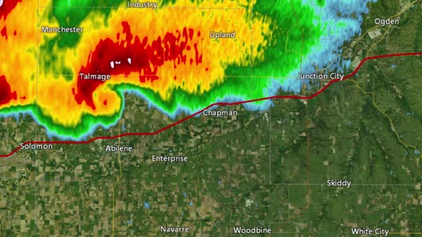
2016 solomon / abeline / chapman, kansas tornado event. zeigt Radarbilder (Reflexivität), die vom nationalen Wetterdienst nexrad radar aufgenommen wurden. es gibt eine identische Version mit Warnboxen in unserem Portfolio
2016 solomon / abilene / chapman, ks Tornado Doppler Radar (ohne Warnboxen)) — Stockvideo
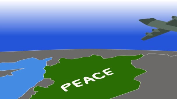
2d-Animation, grauer Bomber fliegt mit Friedensschrift über grünes Land und wirft Bomben ab. Krieg, Konflikt, schwere Waffen, Bombardierung, Bombardierung
2d-Animation, grauer Bomber fliegt mit Friedensschrift über grünes Land und wirft Bomben ab. Krieg, Konflikt, schwere Waffen, Bombardierung, Bombardierung. — Stockvideo
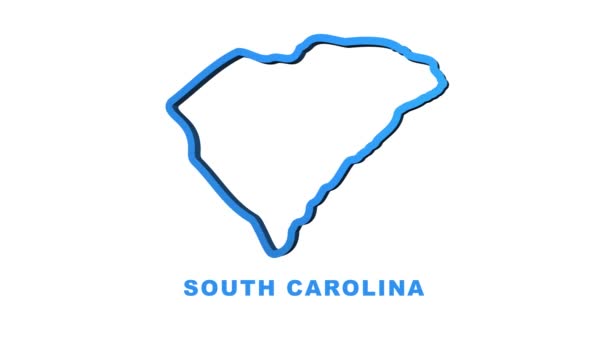
Linienanimierte Landkarte, die den Bundesstaat South Carolina aus dem vereinigten Staat Amerika zeigt. Bewegungsgrafik
Linienanimierte Landkarte, die den Bundesstaat South Carolina aus dem vereinigten Staat Amerika zeigt. Bewegungsgrafik. — Stockvideo
Aquarell animierte Karte, die den Bundesstaat Arkansas aus dem vereinigten Bundesstaat Amerika zeigt. 2d Karte von Arkansas. 4k Motion-Grafik.
Aquarell animierte Karte, die den Bundesstaat Arkansas aus dem vereinigten Bundesstaat Amerika zeigt. 2d Karte von Arkansas. — Stockvideo

Nutzungshinweise

Sie können dieses lizenzfreie Vektorbild "Vektor Illustration Karte von Kapstadt" für persönliche und kommerzielle Zwecke gemäß der Standard- oder Erweiterten Lizenz verwenden. Die Standardlizenz deckt die meisten Anwendungsfälle ab, einschließlich Werbung, UI-Designs und Produktverpackungen, und erlaubt bis zu 500.000 Druckkopien. Die Erweiterte Lizenz erlaubt alle Verwendungszwecke unter der Standardlizenz mit unbegrenzten Druckrechten und erlaubt Ihnen, die heruntergeladenen Vektordateien für Merchandising, Produktwiederverkauf oder freie Verteilung zu verwenden.

Dieses Stock-Vektorbild ist auf jede Größe skalierbar. Sie können es in hoher Auflösung bis zu 4290x4030 kaufen und herunterladen. Datum des Uploads: 15. Sept. 2012