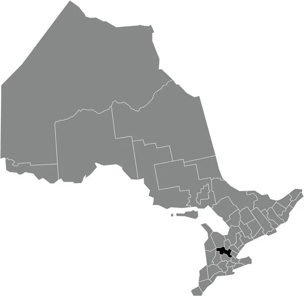
Black Flat Blank Highlighted Location Map Thunder Bay District Gray — Stockvektor

Black flat blank highlighted location map of the THUNDER BAY DISTRICT inside gray administrative map of the Canadian province of Ontario, Canada — Vektorgrafik

Black flat blank highlighted location map of the THUNDER BAY DISTRICT inside gray administrative map of the Canadian province of Ontario, Canada

 — Vektor von momcilo.jovanov

Dieselbe Reihe:

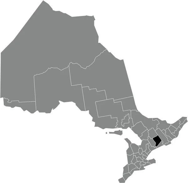
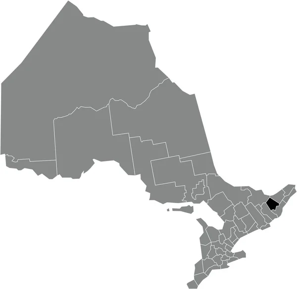
Black flat blank highlighted location map of the NORTHUMBERLAND COUNTY inside gray administrative map of the Canadian province of Ontario, Canada
Black Flat Blank Highlighted Location Map Northumberland County Gray Administrative — Stockvektor
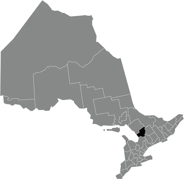
Black flat blank highlighted location map of the PETERBOROUGH COUNTY inside gray administrative map of the Canadian province of Ontario, Canada
Black Flat Blank Highlighted Location Map Peterborough County Gray Administrative — Stockvektor
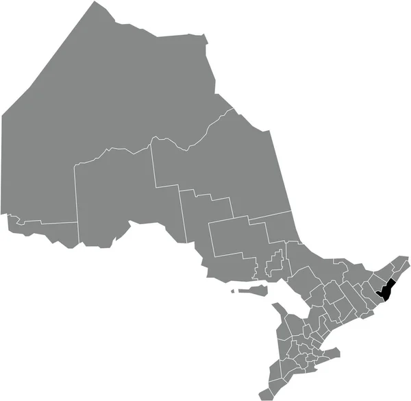
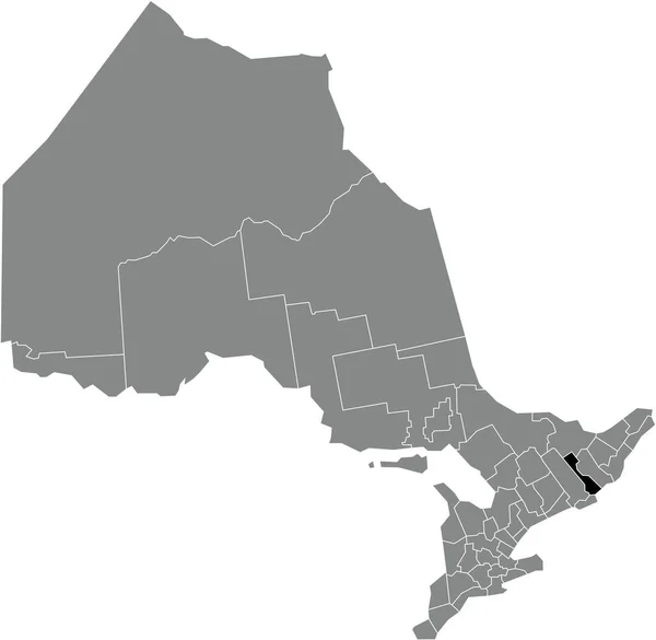
Black flat blank highlighted location map of the RENFREW COUNTY inside gray administrative map of the Canadian province of Ontario, Canada
Black Flat Blank Highlighted Location Map Renfrew County Gray Administrative — Stockvektor
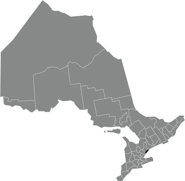
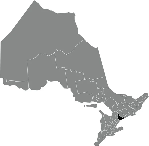
Black flat blank highlighted location map of the TORONTO single-tier municipality inside gray administrative map of the Canadian province of Ontario, Canada
Black Flat Blank Highlighted Location Map Toronto Single Tier Municipality — Stockvektor
Black flat blank highlighted location map of the PEEL regional municipality inside gray administrative map of the Canadian province of Ontario, Canada
Black Flat Blank Highlighted Location Map Peel Regional Municipality Gray — Stockvektor
Black flat blank highlighted location map of the OXFORD COUNTY regional municipality inside gray administrative map of the Canadian province of Ontario, Canada
Black Flat Blank Highlighted Location Map Oxford County Regional Municipality — Stockvektor
Black flat blank highlighted location map of the UNITED COUNTIES OF LEEDS AND GRENVILLE inside gray administrative map of the Canadian province of Ontario, Canada
Black Flat Blank Highlighted Location Map United Counties Leeds Grenville — Stockvektor
Black flat blank highlighted location map of the PARRY SOUND DISTRICT inside gray administrative map of the Canadian province of Ontario, Canada
Black Flat Blank Highlighted Location Map Parry Sound District Gray — Stockvektor
Black flat blank highlighted location map of the LANARK COUNTY inside gray administrative map of the Canadian province of Ontario, Canada
Black Flat Blank Highlighted Location Map Lanark County Gray Administrative — Stockvektor
Black flat blank highlighted location map of the MUSKOKA district municipality inside gray administrative map of the Canadian province of Ontario, Canada
Black Flat Blank Highlighted Location Map Muskoka District Municipality Gray — Stockvektor
Black flat blank highlighted location map of the LENNOX AND ADDINGTON COUNTY inside gray administrative map of the Canadian province of Ontario, Canada
Black Flat Blank Highlighted Location Map Lennox Addington County Gray — Stockvektor
Black flat blank highlighted location map of the GREY COUNTY inside gray administrative map of the Canadian province of Ontario, Canada
Black Flat Blank Highlighted Location Map Grey County Gray Administrative — Stockvektor
Black flat blank highlighted location map of the DURHAM regional municipality inside gray administrative map of the Canadian province of Ontario, Canada
Black Flat Blank Highlighted Location Map Durham Regional Municipality Gray — Stockvektor
Black flat blank highlighted location map of the NORFOLK COUNTY single-tier municipality inside gray administrative map of the Canadian province of Ontario, Canada
Black Flat Blank Highlighted Location Map Norfolk County Single Tier — Stockvektor
Black flat blank highlighted location map of the WELLINGTON COUNTY inside gray administrative map of the Canadian province of Ontario, Canada
Black Flat Blank Highlighted Location Map Wellington County Gray Administrative — Stockvektor
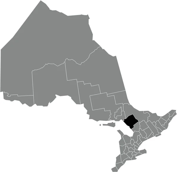
Black flat blank highlighted location map of the HALIBURTON COUNTY inside gray administrative map of the Canadian province of Ontario, Canada
Black Flat Blank Highlighted Location Map Haliburton County Gray Administrative — Stockvektor

Nutzungshinweise

Sie können dieses lizenzfreie Vektorbild "Black flat blank highlighted location map of the THUNDER BAY DISTRICT inside gray administrative map of the Canadian province of Ontario, Canada" für persönliche und kommerzielle Zwecke gemäß der Standard- oder Erweiterten Lizenz verwenden. Die Standardlizenz deckt die meisten Anwendungsfälle ab, einschließlich Werbung, UI-Designs und Produktverpackungen, und erlaubt bis zu 500.000 Druckkopien. Die Erweiterte Lizenz erlaubt alle Verwendungszwecke unter der Standardlizenz mit unbegrenzten Druckrechten und erlaubt Ihnen, die heruntergeladenen Vektordateien für Merchandising, Produktwiederverkauf oder freie Verteilung zu verwenden.

Dieses Stock-Vektorbild ist auf jede Größe skalierbar. Sie können es in hoher Auflösung bis zu 5007x4883 kaufen und herunterladen. Datum des Uploads: 6. Jan. 2022