Piura Region Peru Grayscale Elevation Map Lakes Rivers Locations Names — Stockfoto

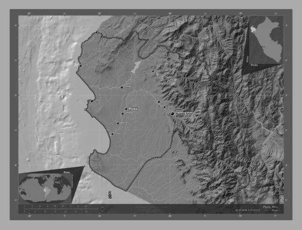
Stockfotografie Piura, region of Peru. Grayscale elevation map with lakes and rivers. Locations and names of major cities of the region. Corner auxiliary location maps: lizenzfreie Fotos

Piura, region of Peru. Grayscale elevation map with lakes and rivers. Locations and names of major cities of the region. Corner auxiliary location maps

 — Foto von Yarr65

Dieselbe Reihe:

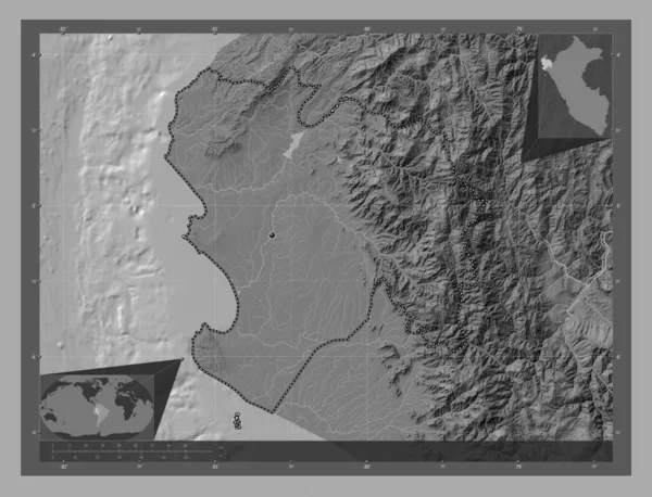
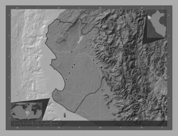
Piura, region of Peru. Bilevel elevation map with lakes and rivers. Corner auxiliary location maps
Piura Region Peru Bilevel Elevation Map Lakes Rivers Corner Auxiliary — Stockfoto
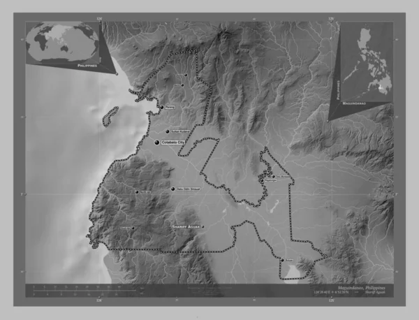
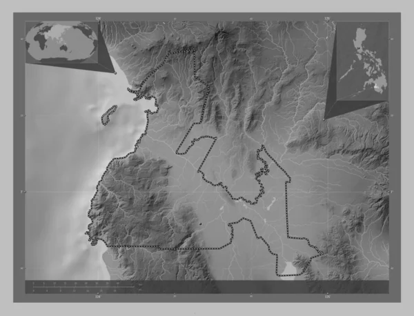
Maguindanao, province of Philippines. Grayscale elevation map with lakes and rivers. Locations and names of major cities of the region. Corner auxiliary location maps
Maguindanao Province Philippines Grayscale Elevation Map Lakes Rivers Locations Names — Stockfoto
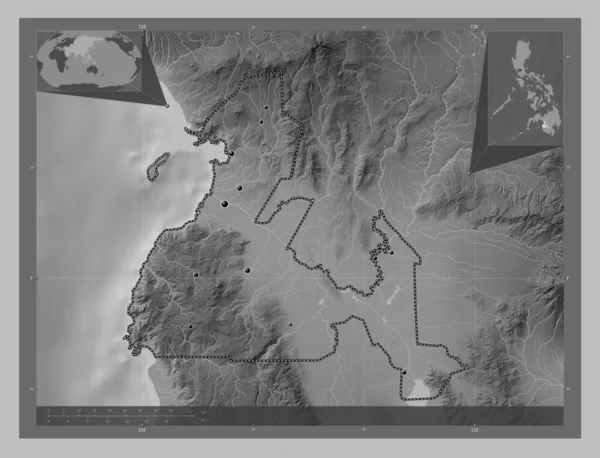
Maguindanao, province of Philippines. Grayscale elevation map with lakes and rivers. Locations of major cities of the region. Corner auxiliary location maps
Maguindanao Province Philippines Grayscale Elevation Map Lakes Rivers Locations Major — Stockfoto
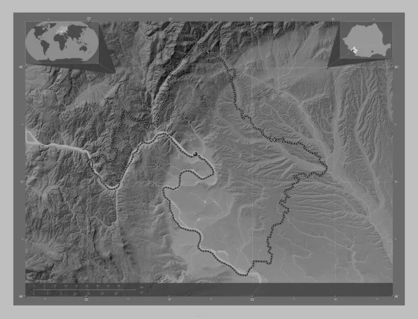
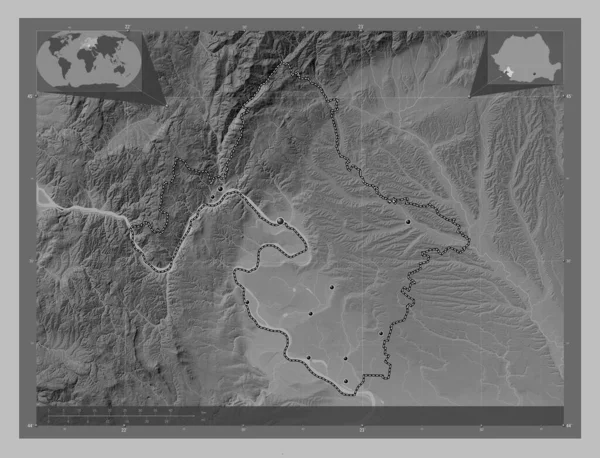
Mehedinti, county of Romania. Grayscale elevation map with lakes and rivers. Corner auxiliary location maps
Mehedinti County Romania Grayscale Elevation Map Lakes Rivers Corner Auxiliary — Stockfoto
Mehedinti, county of Romania. Grayscale elevation map with lakes and rivers. Locations of major cities of the region. Corner auxiliary location maps
Mehedinti County Romania Grayscale Elevation Map Lakes Rivers Locations Major — Stockfoto
Maguindanao, province of Philippines. Grayscale elevation map with lakes and rivers. Corner auxiliary location maps
Maguindanao Province Philippines Grayscale Elevation Map Lakes Rivers Corner Auxiliary — Stockfoto
Piura, region of Peru. Bilevel elevation map with lakes and rivers. Locations and names of major cities of the region. Corner auxiliary location maps
Piura Region Peru Bilevel Elevation Map Lakes Rivers Locations Names — Stockfoto
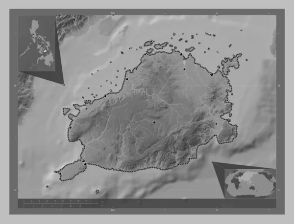
Bohol, province of Philippines. Grayscale elevation map with lakes and rivers. Locations of major cities of the region. Corner auxiliary location maps
Bohol Province Philippines Grayscale Elevation Map Lakes Rivers Locations Major — Stockfoto
Piura, region of Peru. Bilevel elevation map with lakes and rivers. Locations of major cities of the region. Corner auxiliary location maps
Piura Region Peru Bilevel Elevation Map Lakes Rivers Locations Major — Stockfoto
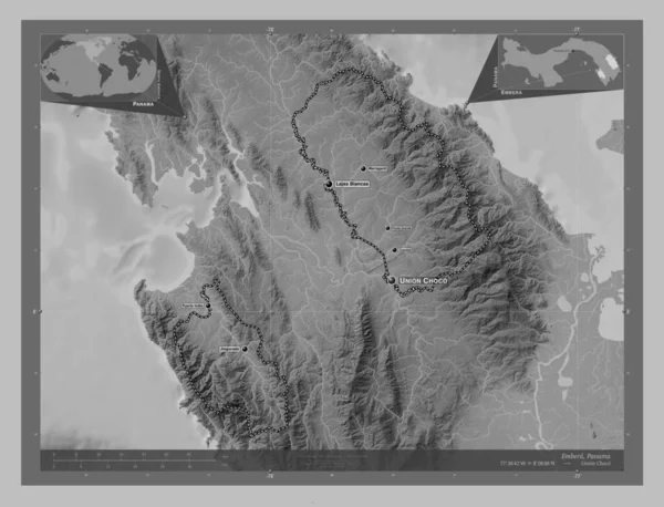
Embera, indigenous territory of Panama. Grayscale elevation map with lakes and rivers. Locations and names of major cities of the region. Corner auxiliary location maps
Embera Indigenous Territory Panama Grayscale Elevation Map Lakes Rivers Locations — Stockfoto
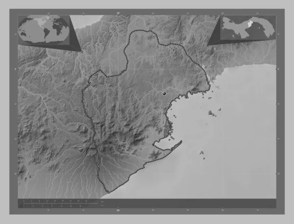
Panama Oeste, province of Panama. Grayscale elevation map with lakes and rivers. Corner auxiliary location maps
Panama Oeste Province Panama Grayscale Elevation Map Lakes Rivers Corner — Stockfoto
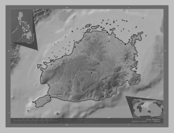
Bohol, province of Philippines. Grayscale elevation map with lakes and rivers. Locations and names of major cities of the region. Corner auxiliary location maps
Bohol Province Philippines Grayscale Elevation Map Lakes Rivers Locations Names — Stockfoto
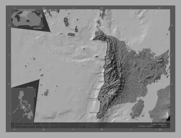
Antique, province of Philippines. Bilevel elevation map with lakes and rivers. Locations and names of major cities of the region. Corner auxiliary location maps
Antique Province Philippines Bilevel Elevation Map Lakes Rivers Locations Names — Stockfoto
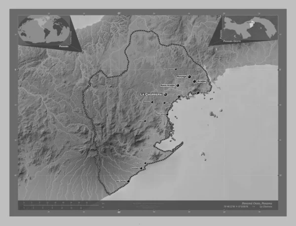
Panama Oeste, province of Panama. Grayscale elevation map with lakes and rivers. Locations and names of major cities of the region. Corner auxiliary location maps
Panama Oeste Province Panama Grayscale Elevation Map Lakes Rivers Locations — Stockfoto
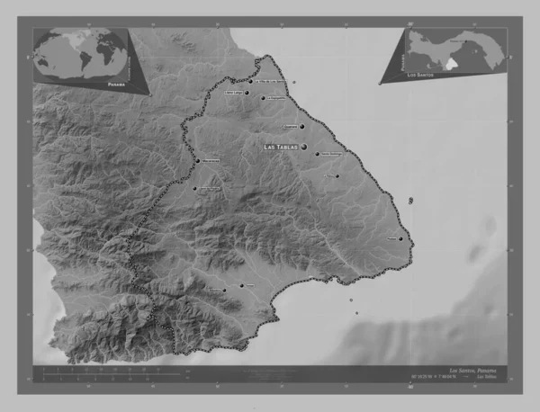
Los Santos, province of Panama. Grayscale elevation map with lakes and rivers. Locations and names of major cities of the region. Corner auxiliary location maps
Los Santos Province Panama Grayscale Elevation Map Lakes Rivers Locations — Stockfoto
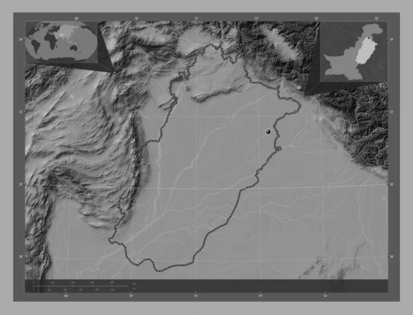
Punjab, province of Pakistan. Bilevel elevation map with lakes and rivers. Corner auxiliary location maps
Punjab Province Pakistan Bilevel Elevation Map Lakes Rivers Corner Auxiliary — Stockfoto

Nutzungshinweise

Sie können dieses lizenzfreie Foto "Piura, region of Peru. Grayscale elevation map with lakes and rivers. Locations and names of major cities of the region. Corner auxiliary location maps" für persönliche und kommerzielle Zwecke gemäß der Standard- oder Erweiterten Lizenz verwenden. Die Standardlizenz deckt die meisten Verwendungszwecke ab, einschließlich Werbung, UI-Designs und Produktverpackungen, und erlaubt bis zu 500.000 Druckkopien. Die Erweiterte Lizenz erlaubt alle Verwendungszwecke unter der Standardlizenz mit unbegrenzten Druckrechten und erlaubt Ihnen, die heruntergeladenen Bilder für den Verkauf von Waren, den Wiederverkauf von Produkten oder die kostenlose Verteilung zu verwenden.

Sie können dieses Stockfoto kaufen und in hoher Auflösung bis zu 4930x3770 herunterladen. Datum des Uploads: 28. Jan. 2023