Monastir Governorate Tunisia High Resolution Satellite Map Corner Auxiliary Location — Stockfoto

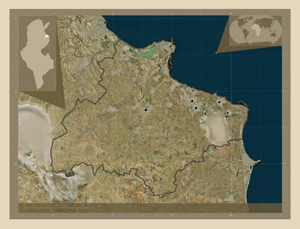
Monastir, governorate of Tunisia. High resolution satellite map. Corner auxiliary location maps-Illustration

Monastir, governorate of Tunisia. High resolution satellite map. Corner auxiliary location maps

 — Illustration von Yarr65

Dieselbe Reihe:

Monastir, governorate of Tunisia. High resolution satellite map. Locations of major cities of the region. Corner auxiliary location maps
Monastir Governorate Tunisia High Resolution Satellite Map Locations Major Cities — Stockfoto
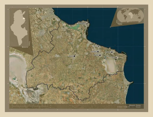
Monastir, governorate of Tunisia. High resolution satellite map. Locations and names of major cities of the region. Corner auxiliary location maps
Monastir Governorate Tunisia High Resolution Satellite Map Locations Names Major — Stockfoto
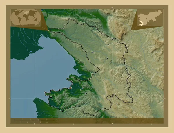
Obalno-kraska, statistical region of Slovenia. Colored elevation map with lakes and rivers. Locations of major cities of the region. Corner auxiliary location maps
Obalno Kraska Statistical Region Slovenia Colored Elevation Map Lakes Rivers — Stockfoto
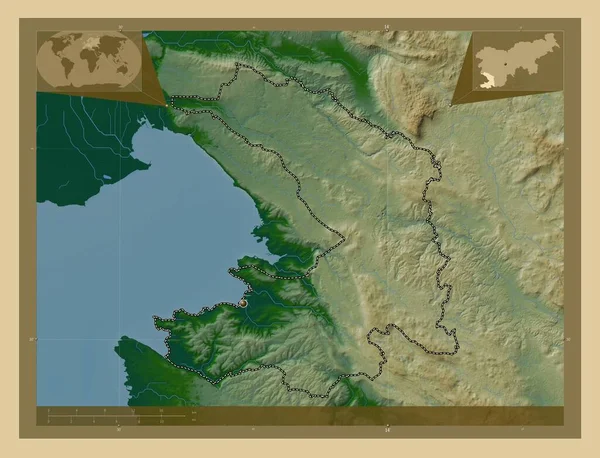
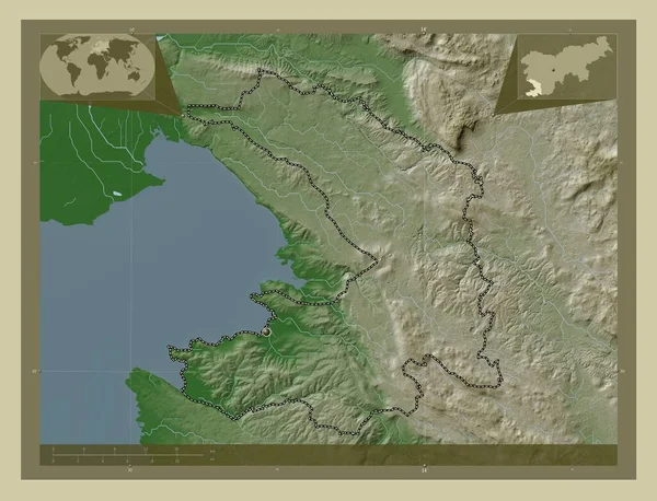
Obalno-kraska, statistical region of Slovenia. Colored elevation map with lakes and rivers. Corner auxiliary location maps
Obalno Kraska Statistical Region Slovenia Colored Elevation Map Lakes Rivers — Stockfoto
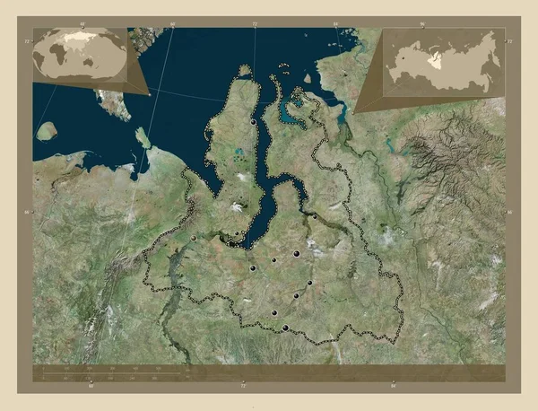
Yamal-Nenets, autonomous province of Russia. High resolution satellite map. Locations of major cities of the region. Corner auxiliary location maps
Yamal Nenets Autonomous Province Russia High Resolution Satellite Map Locations — Stockfoto
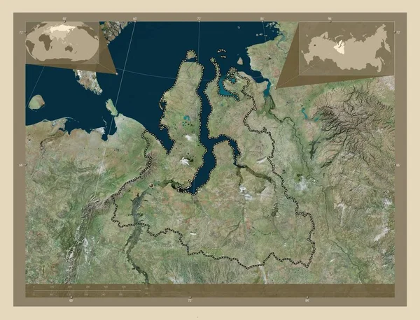
Yamal-Nenets, autonomous province of Russia. High resolution satellite map. Corner auxiliary location maps
Yamal Nenets Autonomous Province Russia High Resolution Satellite Map Corner — Stockfoto
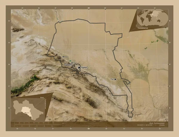
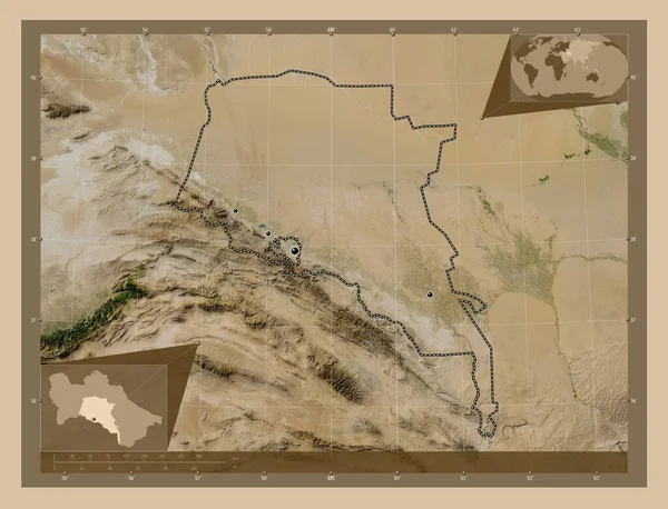
Ahal, province of Turkmenistan. Low resolution satellite map. Locations and names of major cities of the region. Corner auxiliary location maps
Ahal Province Turkmenistan Low Resolution Satellite Map Locations Names Major — Stockfoto
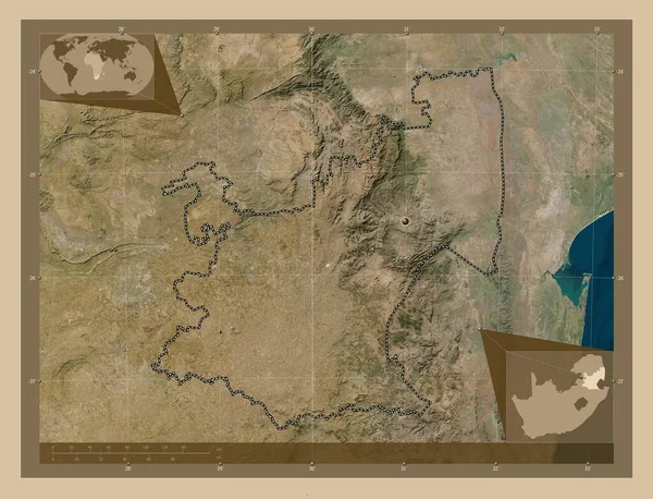
Mpumalanga, province of South Africa. Low resolution satellite map. Corner auxiliary location maps
Mpumalanga Province South Africa Low Resolution Satellite Map Corner Auxiliary — Stockfoto
Obalno-kraska, statistical region of Slovenia. Elevation map colored in wiki style with lakes and rivers. Corner auxiliary location maps
Obalno Kraska Statistical Region Slovenia Elevation Map Colored Wiki Style — Stockfoto
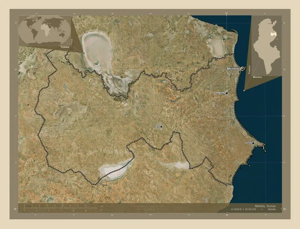
Mahdia, governorate of Tunisia. High resolution satellite map. Locations and names of major cities of the region. Corner auxiliary location maps
Mahdia Governorate Tunisia High Resolution Satellite Map Locations Names Major — Stockfoto
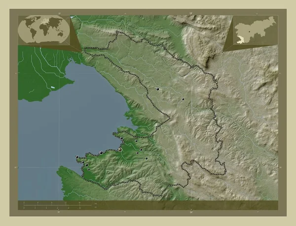
Obalno-kraska, statistical region of Slovenia. Elevation map colored in wiki style with lakes and rivers. Locations of major cities of the region. Corner auxiliary location maps
Obalno Kraska Statistical Region Slovenia Elevation Map Colored Wiki Style — Stockfoto
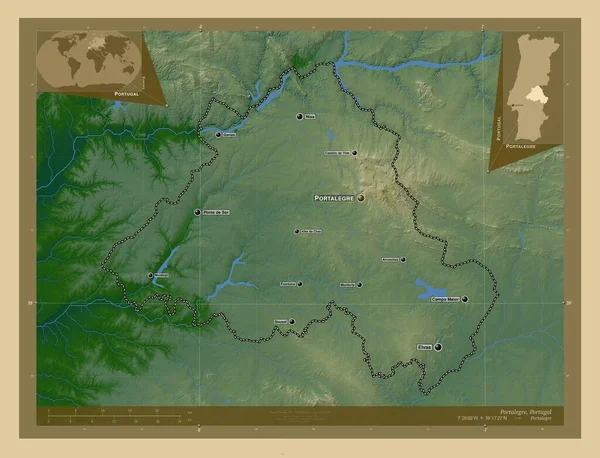
Portalegre, district of Portugal. Colored elevation map with lakes and rivers. Locations and names of major cities of the region. Corner auxiliary location maps
Portalegre District Portugal Colored Elevation Map Lakes Rivers Locations Names — Stockfoto
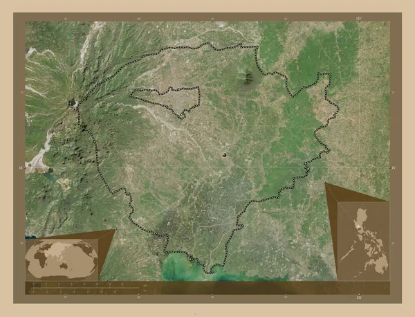
Pampanga, province of Philippines. Low resolution satellite map. Corner auxiliary location maps
Pampanga Province Philippines Low Resolution Satellite Map Corner Auxiliary Location — Stockfoto
Ahal, province of Turkmenistan. Low resolution satellite map. Locations of major cities of the region. Corner auxiliary location maps
Ahal Province Turkmenistan Low Resolution Satellite Map Locations Major Cities — Stockfoto
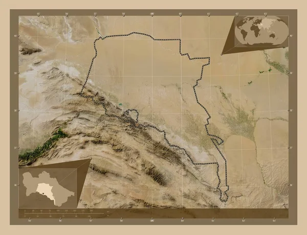
Ahal, province of Turkmenistan. Low resolution satellite map. Corner auxiliary location maps
Ahal Province Turkmenistan Low Resolution Satellite Map Corner Auxiliary Location — Stockfoto
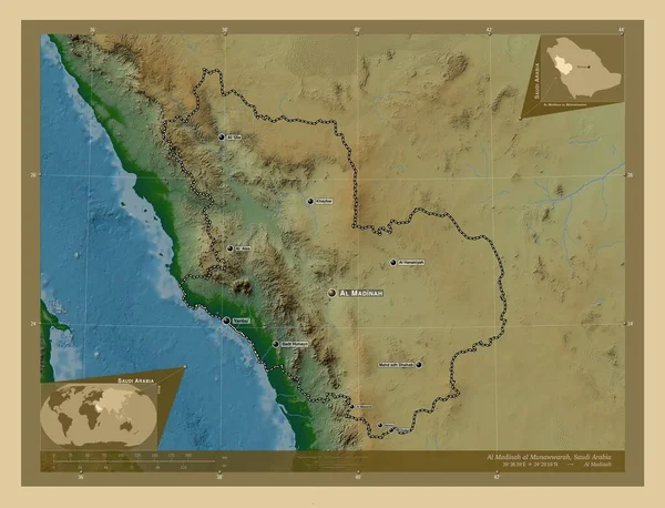
Al Madinah al Munawwarah, region of Saudi Arabia. Colored elevation map with lakes and rivers. Locations and names of major cities of the region. Corner auxiliary location maps
Madinah Munawwarah Region Saudi Arabia Colored Elevation Map Lakes Rivers — Stockfoto

Nutzungshinweise

Sie können diese lizenzfreie Illustration "Monastir, governorate of Tunisia. High resolution satellite map. Corner auxiliary location maps" für persönliche und kommerzielle Zwecke gemäß der Standard- oder Erweiterten Lizenz verwenden. Die Standardlizenz deckt die meisten Verwendungszwecke ab, einschließlich Werbung, UI-Designs und Produktverpackungen, und erlaubt bis zu 500.000 Druckkopien. Die Erweiterte Lizenz erlaubt alle Verwendungszwecke unter der Standardlizenz mit unbegrenzten Druckrechten und erlaubt Ihnen, die heruntergeladenen Stockillustrationen für den Verkauf von Waren, den Wiederverkauf von Produkten oder die kostenlose Verteilung zu verwenden.

Sie können dieses Stockfoto in hoher Auflösung bis zu 4930x3770 kaufen und herunterladen. Datum des Uploads: 25. Feb. 2023